UltraPedestrian Wilderness Challenge: Chinook Pass/Ohanepecosh River Loop (32 miles)
Wow. What a fantastic day with my friend, Rachael. At the end of the day we sat in the car, still sweat-drenched, cold, and achy, gorging on wonderfully fatty pizza and quesadillas. We reflected how for both of us, this was our favorite ultra to date. And isn’t that awesome?
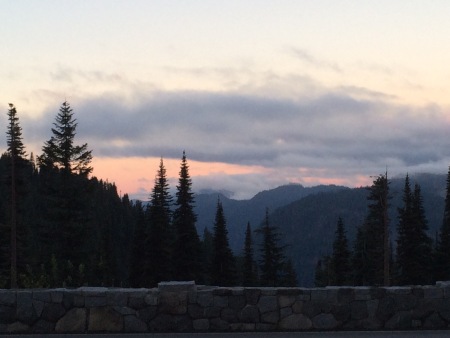
The day started early – we left Seattle around 5:00am, and reached the Mt. Rainier area around 7:00am. We were having a wonderful chat as we drove around the curves, the sun just starting to make an appearance. We turned one corner and both exclaimed, “HO-LY SHIT!”

This picture doesn’t do it justice in the least. But it was STUNNING. Mt. Rainier, you never fail to please. With a clear morning, we thought we might have great views of many mountains along the way. (Alas, that was not to be.)
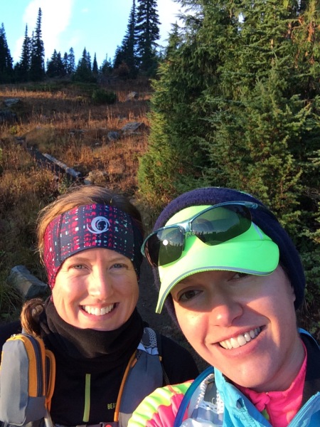

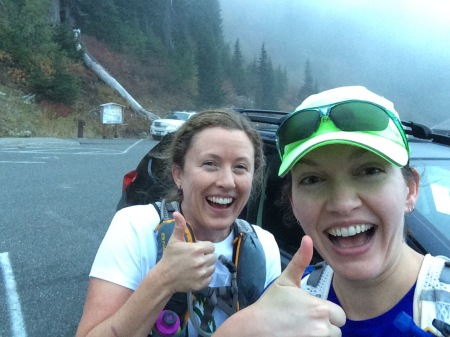
We got going just after 7:15am. It was a chilly morning, so we both brought more layers than was necessary, but we used almost all of them at the beginning as it was so brisk. 10 minutes into our run Rachael had to stop because her Nathan reservoir wasn’t working – no water was coming out. Uh-oh. Turns out her pack was just stuffed to the gills and kinking the hose, but no permanent harm done. We went on our way, thinking perhaps next time we ought to get bigger packs…
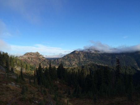
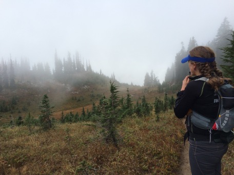
The very beginning of the run was beautiful, and clear – a perfect fall morning. The foliage is starting to change colors, and it added to the atmosphere. Not too far along the clouds started to descend a bit.

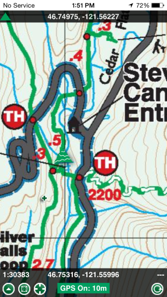
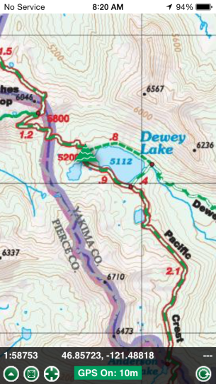
We each had a Green Trails Map of the area, but because of the wonderful Green Trails App on my phone, we never took them out! I have to say, it was extremely helpful when we came to a confusing intersection. It also gave us an idea of how far we had to go, which in the later sections was helpful mentally. I’ve used the app on previous hikes, but it never meant as much as it did for a run like this, and it solidified my appreciation for it. TOTALLY worth the cost, which is fairly inexpensive. It can drain the battery on your phone, but I just kept my phone in airplane mode until I wanted to check it, and it connected right away after turning off airplane mode. Although we did not have any cell phone service during the course of the day, the app worked the entire time. Anyway, I sporadically took photos of our progress (note the green triangle) along the trail.
When we got to about the highest point of the trail (just over 5800 feet), we noticed the trees were oddly bent, but interesting to look at. By this point the clouds had fully descended and any hope of spotting our local volcanoes was lost. But nonetheless, we still enjoyed the views and each other’s company.

We saw a few hikers out in the morning on the PCT section, but otherwise it was fairly quiet. We spotted a pika early on, who meeped at us loudly. We flushed what looked like a blue grouse. We also came upon some very fresh scat and prints right in the middle of the trail, which looked like deer or elk. Someone else found the trail very useful as well! I think the best wildlife “event” was hearing the elk bugling. We never saw them, but heard them a few times – while we were mid-Laughingwater Creek and near the end of Eastside Trail. I’ve never heard elk bugling in person, but wow, it was cool.
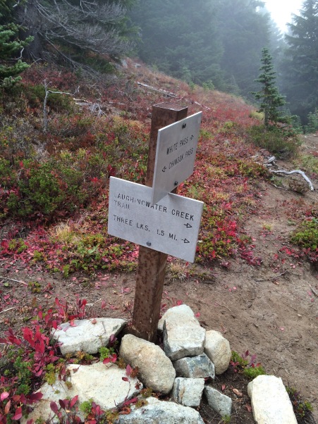
While the PCT was great (I definitely want to run it again), we were happy to move on to the second section on Laughingwater Creek Trail.

After not too long we reached the Patrol Cabin. Luckily, two hikers came by at that time and just so happened to have a pen handy, so we signed the log.
Overall, we really enjoyed the Laughingwater section. The slight downhill was nice, but I also love the type of forest we were in. Some might find it boring, but it’s so green, friendly-looking and yet magical. You expect a little fairy to cross the trail in front of you or something.

At the end of this, we knew we’d have to fill up on water, so we were looking for a good water source. We came upon Silver Falls, and were stunned by the turquoise blue of the water. So beautiful.
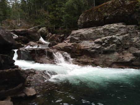
We found a place to filter our water. The little Sawyer filter we had was great, albeit a bit new, so it was a bit stiff and ended up taking us at least 30 minutes to fill out our reservoirs. It was a nice little break though. We got a few inquiries from day hikers as to what we were doing with the water, but no further questions after simply explaining, “Filtering it.”
Continuing on up near the Grove of the Patriarchs trailhead, what we did find? A. Drinking. Fountain. A DRINKING FOUNTAIN.

<facepalm> GAH. It’s funny now, but we felt a bit stupid at the time since we wasted so much time filtering.
We enjoyed the nice, wide, well-worn trail at the Grove of the Patriarchs. and then…Eastside Trail. I think I can safely say that this was our least favorite section. Up until this point, about 20ish miles in, we had felt great. Of course, our bodies were becoming a bit sore by now, which was expected. But the narrow, closed in trail and lack of scenic vistas made it a little less inspiring than the previous parts of the route. I led, and it was clear no one had been on the trail for quite some time. I was constantly wiping away spiderwebs from my face and arms. Sorry, spiders!
The sporadic waterfalls were nice, of course, and some brightly colored fungi spruced it up a bit. Get it, spruced it up? Sorry!

As we slogged on, we determined we needed a pick-me-up. Trashy pop music to the rescue!

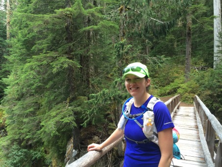
Then we reached what I will call the literal and figurative “shittiest part of the trail.” It was steep. REAL steep. And it was covered in a variety of scat! Evidently we had stumbled upon the mammalian latrine of the area. No, we did not contribute. 😉
When we finally reached highway 123, we struggled to find the trail on the other side of the road. It seems a bit obvious now, but the tiny sign that we eventually found was well-hidden.
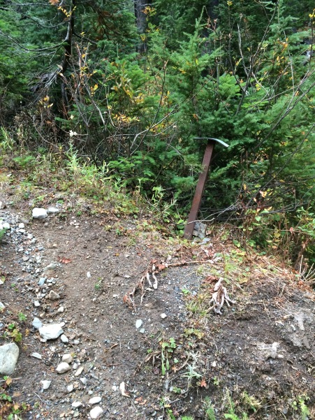
But, find it we did! At this point we were a bit concerned because we were quickly becoming socked in with fog and the sun was just about to set. I just kept saying, “We’re SO close, really. Relentless forward progress!”
We were never so thrilled to see highway 410 again!
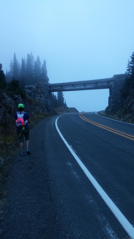
A quick jog up the road and we saw the parking lot!
32 effing miles! High fives all around.
Finishing time: 11 hours
Elevation gain: ~6,500 feet
Calories consumed: ~1,100 (3 very small red potatoes, 2 bags Welches fruit snacks, 2 onigiri, 1 Portable baked banana rice ball, 2 Portable pumpkin cakes, 8 Glutino Oreos)
In case anyone wondered, here is the gear I brought in my Nathan VaporShape pack:
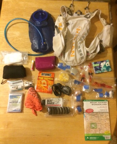
- 2 liter water reservoir
- Green Trails Map
- Chapstick
- Kleenex (flowery packet)
- TP/wipes
- First aid kit (pink pouch – and Rachael had a more extensive one)
- Handwarmers
- Space blanket
- Headlamp
- Bandana
- ID
- Small pocket knife
- Tiny rewetting eye drops (for those times when you get bugs/dust in your eyes. Seems to happen to me a lot.)
- Tiny hand sanitizer
- Seat Saver Anti-Chafe Cream (LOVE this stuff, and I definitely used it on this route)
- Patagonia Houdini jacket
- Food (not all eaten): Glutino Oreos, little red potatoes, onigiri, fruit snacks, Portables pumpkin cakes, baked rice ball, sweet cream grits
- Not pictured: Headband, sleeves, gloves, sunglasses and clothing worn. Rachael had our water filter.
What we learned:
- While our packs worked… for something unsupported like this, bring a bigger pack.
- Research a bit more on water locations (to avoid time lost.)
- Overestimate the completion time. It took a bit longer than we had anticipated, so some had family started to worry since they hadn’t heard from us.
- While our families knew roughly where we were, next time we’ll leave a copy of the map with them, with the route highlighted.
- Bring some denser foods like turkey-cheese quesadillas, etc. After awhile the quick-carbs just weren’t enough.
As I mentioned at the beginning of the post, this ultra was my favorite so far. I really enjoyed having the goal, but not the pressure of time cutoffs or actually “racing.” Being unsupported definitely was a new challenge for me with this sort of distance, but we were prepared, and thankfully didn’t having to use any of our “just in case” gear. I felt really strong for 2/3 of the course, and the rest was the usual ultra soreness. But nothing near unbearable. I never reached the dark place that I often reach in ultras, you know the one, where you hate all your life choices? I think the overall positive experience was in part due to Rachael’s excellent and cheery company, the beautiful scenery, and the lack of “race-day stress.” We both had a great time, and aim to do more UltraPedestrian routes in the future! This run has inspired us.
And now? Now it’s time to EAT ALL THE THINGS. 🙂







Comments
Baker Lake 50K Race Report | will run for whisky
October 4, 2015 at 10:09 pm
[…] The weather was perfect and we finished strong and injury-free. While I was definitely feeling the 50K I did two weeks ago (oops?), I was pleased I could still keep up with Adam and finish well. He enjoyed being out there […]
Wes Plate
October 29, 2015 at 6:50 pm
Can you share your GPS track? I’m planning the same route and my plot calculates a too-short distance. http://www.plotaroute.com/route/132955
tropicana4
October 29, 2015 at 8:25 pm
I use a Suunto Ambit 3R, and unfortunately it’s not always terribly accurate as it overestimated the distance by a few miles, so I had to edit it post-run to be correct. (http://www.movescount.com/moves/move77257399) But it’s a known route to be 32 miles.
For another reference, here is Jessica Kelley’s Strava link for the same route: https://www.strava.com/activities/323973980
2015 in Review – 2016 in Preview | will run for whisky
January 1, 2016 at 8:18 pm
[…] 50Ks completed (UltraPedestrian Wilderness Challenge race report and Baker Lake race […]
Image Lake via Miner’s Ridge Trip Report – 31 miles | will run for whisky
July 10, 2017 at 10:10 pm
[…] send an SOS if need be. (Thanks, Jen!) Based on my experience with some concerned family during a similar adventure run a few years ago, we really wanted peace of mind just in case something happened. The InReach worked very well, and […]
UltraPedestrian Wilderness Challenge Owyhigh Lakes Loop – 36 miles | will run for whisky
September 3, 2017 at 4:01 pm
[…] years ago I did my first UltraPedestrian Wilderness Challenge of 32 miles, and it was a very fun, challenging, and inspiring experience. I’ve been itching […]