UltraPedestrian Wilderness Challenge Owyhigh Lakes Loop – 36 miles

Two years ago I did my first UltraPedestrian Wilderness Challenge of 32 miles, and it was a very fun, challenging, and inspiring experience. I’ve been itching to go on another, and was so tempted by another loop near Mt. Rainier that I was able to work it into my training this year. My friend Ellen joined me on this epic journey that was full of highs and lows. Literally and figuratively. 🙂 (Read her blog post about our day HERE.)

I took an inordinate number of photos, so I tried to slim it down to a reasonable number for this post. What a great problem to have. 🙂
The route is Summerland Trail, Cowlitz Divide Trail, Eastside Trail, Grove of the Patriarchs, Eastside Trail, Owyhigh Lakes Trail, Sunrise Park Road, back to junction with Summerland Trail.
We started just before 7am at the Summerland Trailhead off of Sunrise Road. This section is part of the Wonderland Trail, and illustrative of the beauty found on this trail.
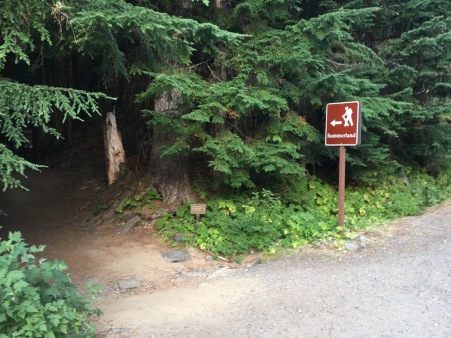
With that early of a start, we basically had the trail to ourselves. A lovely respite from city life.
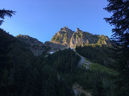
This late in the season, the wildflowers were long gone, which is a bummer as it’s a highlight of that climb to Summerland. However, once at the top, you’re rewarded with some great scenic vistas!
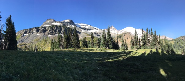
We continued past this idyllic spot up to Panhandle Gap. I’ve been up there twice, and both times it was cloudy. I never knew the views that were hiding…
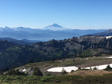
I will admit to squealing and jumping around a bit when Mt. Adams came into view. THIS is one of the many reasons trail running is awesome.
Past this point we had several snowfields to traverse, some steeper than others. I’d brought my Yaktrax, but Ellen kindly lent me one of her awesome poles (which saved me time from taking the Yaktrax on/off). I’m not too steady on snow, despite my Midwestern upbringing, so the pole was a great help.
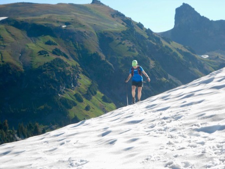
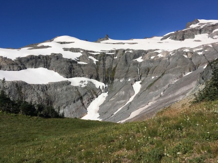
Here Ellen and I separated a bit. She’s awesome at descents, so while she was cruising I was slower going down (and easily distracted by scenery as this is my favorite part of the trail.) I was running down the trail towards Indian Bar, all smiles, when at mile 8.2 I spotted a black bear. Right next to the trail. Um, okay. #*%!, what do I do? He was happily munching away on the blueberries, but I didn’t want to test his patience. So I backed up a few feet and just kept saying, “HEY BEAR” firmly and loudly. He heard me, and slowly ambled his way down the bushy slope. When I couldn’t see him any longer I continued on down the trail, heart racing. It was a positive bear encounter, but since I was alone at that point I kept yelling “hey bear” for awhile, just to make sure I didn’t startle one during his lunch. Hopefully I didn’t sound too much like a lunatic, lol.
At Indian Bar I found Ellen filtering water and snacking. She was bummed to have missed the bear, but we had a long day ahead, so who knew what wildlife we’d find?
The climb out of Indian Bar is tough. Our early start allowed us to get through the exposed trail before the afternoon, however, it was nearing noon and really heating up. The climb was a bit of a trudge, but we did get some great views on this section!
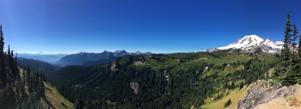
We finally began to descend and found the intersection for the Cowlitz Divide Trail – hooray!
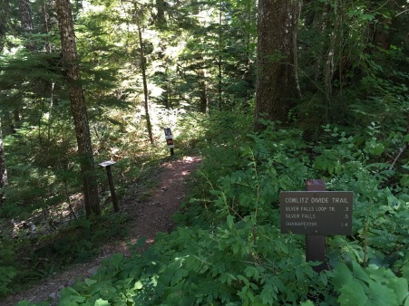
This trail is less than 5 miles long, but I’ll admit it wasn’t my favorite. (To be fair, following the beauty of the Wonderland Trail is a tough challenge!) We descended the whole time, but the trail was rougher and clearly less used. The shade was welcome, but it was stuffy and hot. We really looked forward to getting through this part. (To pass the time I sang the Hamilton soundtrack under my breath for entertainment.)
Once down, we saw the hoards of tourists checking out the area. It was rather jarring after 6 hours in relative solitude. Here we stopped to have a snack, used a real toilet (what a treat) and get water from the drinking fountain instead of filtering from Silver Falls. (I learned from a time-sucking error during my first UltraPedestrian run, lol.)
Then… onwards. I’ll admit I was dreading the Eastside Trail a bit. My memory of it wasn’t terribly positive, so I had very low expectations.
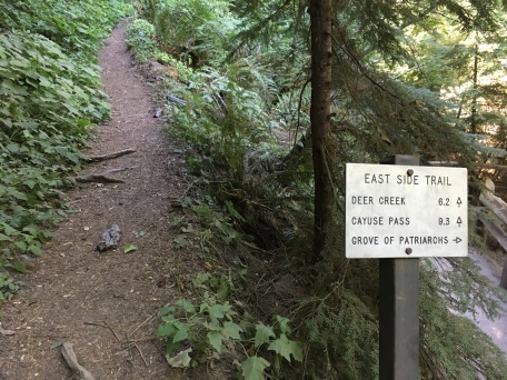
However, it surprised me. It was remarkably runnable and best of all – shaded (blissful on that hot day.)
We came across some stunning old-growth trees, and I found it difficult to capture their magnificence. We found one blown down that gave us a bit of perspective on their size.
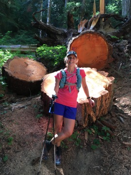
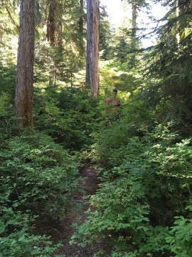
There were definitely some brushy spots on the trail, but overall it was pretty good.
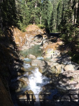
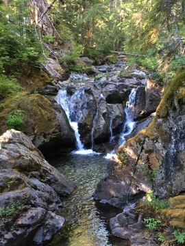
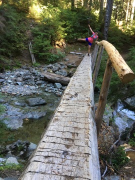
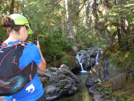
We crossed quite a few bridges with thundering waterfalls below. They were all that beautiful turquoise blue of glacial melt that looked so inviting on that hot day. Tantalizing for a swim, and unfortunately, unattainable in the moment.
On the Eastside Trail there are no sweeping views as a reward, so it’s just a put-your-head-down-and-go kind of trail. After less than 7 miles we reached Deer Creek Camp. Here we filtered water one last time and had a solid snack before our final push. It was cool by the water and I really didn’t feel like leaving. A quick dunk of my hat in the cold water, and we were off.
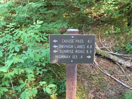
Onto the Owyhigh Trail. It was a steady (but not brutal) climb back up. It shouldn’t have been too bad, but the heat of the day had finally gotten to us. There was hardly anything for scenery either, so it felt a bit neverending. (We had gotten really spoiled with the views on the Wonderland Trail section.)
Here too is where things got really tough. Heat + ultrarunning = very grouchy stomach. I didn’t feel top notch, but luckily it was fairly mild as far as these things go. However, Ellen’s stomach was throwing tantrums, so it became a bit of a sufferfest for her. I think all ultrarunners experience this now and then, and this day, unfortunately, it was Ellen’s turn. However, she was an absolute champ and kept battling through to just get this thing done.
As it was later in the day it finally started to cool off a bit, so while no one felt great, at least we weren’t hot anymore. We also got through the majority of the boring parts of the trail to reach Owyhigh Lakes. We paused to look out at the lakes and then we heard an elk bugle! Ellen spotted them actually standing in the lake. Apparently they wanted a swim in the lake as bad we did in the heat!
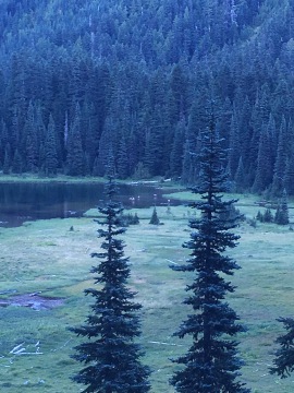
The took off shortly after their frolicking in the lake, so it was really special that we caught them when we did. This is the second time I’ve heard elk bugling while on an UltraPedestrian run – how lucky! (As a sidenote – while a cool sound, it does sound a bit pathetic. C’mon elk, no girl likes a desperate guy, lol.)
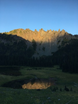
After this point we descended down back to Sunrise Road. It was a few miles, and by then the sun had set so we popped on our headlamps. (p.s. My new Petzl MYO is awesome and super bright!) Even though Ellen clearly was feeling less than stellar, she really impressed me with her strength and focus in finishing. We were never so happy to see the reflective paint of a road!
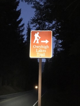
As we walked along the road to the car we both noticed how HARD the road felt to our battered feet. But huge bonus, no roots or rocks lying in wait to trip you. 😉
Wow, what a day!
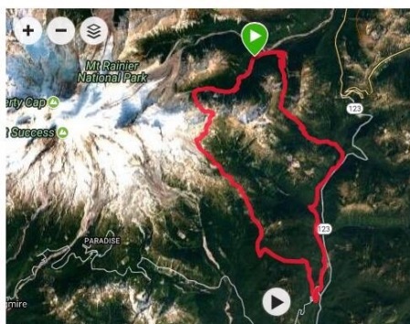
Finishing time: 13.5 hours
Elevation gain: ~8,100 feet
Calories consumed: ~1,300 (3/4 stick pack of Tailwind, 1 ham & cheese small tortilla rollup, 1 sweet potato/rice/black bean burrito, 1.5 small purple potatoes, 1 Portable baked banana rice ball, 1.5 sweet potato/apple baby food pouches, 7 Glutino Oreos)
Of course, doing an unsupported run means you really need to be prepared. My pack, a Salomon 12-set, was stuffed to the brim (and HEAVY.) However, I think I chose wisely with my “just in case items” because you really are on your own out there.
- Garmin inReach
- 2 liter water reservoir + 1/2 liter soft flask (for Tailwind)
- Green Trails Map
- Chapstick
- Kleenex
- TP/wipes
- First aid kit
- Handwarmers
- Space blanket
- Petzl MYO Headlamp
- Bandana/buff
- ID
- Small pocket knife
- Tiny rewetting eye drops (for those times when you get bugs/dust in your eyes. Seems to happen to me a lot.)
- Tiny hand sanitizer
- Seat Saver Anti-Chafe Cream
- Patagonia Houdini jacket
- Water filter
- Yacktrax
- Extra socks (could be used as gloves if cold)
- Sunscreen
- Mini roll duct tape (when is this NOT useful?)
- Salt Stick FastChews
- Extra Tailwind, and a little more food than I expect to eat, “just in case”
- And, of course, all the food!
Can’t wait to go on another adventure!


Comments
Owyhigh Loop: An UltraPedestrian Wilderness Challenge – mauderunner
September 5, 2017 at 4:30 pm
[…] woods, so there were few views, and we focused on steady onward progress. As Ana reported in her blog, my stomach had begun rebelling against the journey and the day’s heat, and I don’t really […]
2017 in Review – 2018 in Preview | will run for whisky
December 31, 2017 at 6:51 pm
[…] self-supported runs completed (UPWC 36 mile Owyhigh Lakes Loop, Image Lake to Miner’s Ridge – […]